Geoambiente will operate the digital topographic survey with LiDAR technology
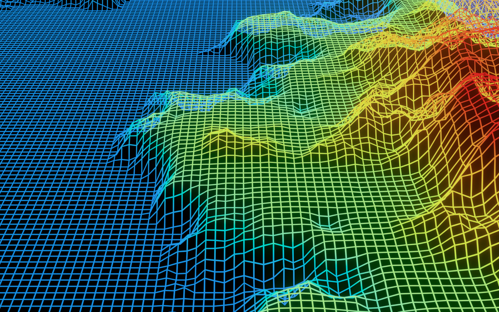
The projects and services will be provided in partnership with Servicios Aéreos Industriales Especializados (SAI), a company based in Brazil and subsidiary in Chile, with experience in laser profiling. This is a technique for acquiring a three-dimensional point cloud on the ground using sensors for Light Detection and Ranging (LiDAR). These sensors are installed in a different type of vehicles and the data obtained allows the generation of various types of digital models.
Mapping products
- Digital Terrain Model (DTM)
- Digital Surface Model (DSM)
- Contour lines
- 2D and 3D orthophotographs
- Mapping base or final map generated
LiDAR aerial survey and digital camera with helicopter (ALS)
Linear projects such as roads, railways, and transmission lines.
Aerial Laser Survey and Digital Camera with Airplane (AL)
2D and 3D mapping products for various applications.
Laser aerial survey and digital camera with drone (DLS)
2D and 3D mapping products for various applications.
Terrestrial LiDAR Scanning (TLS)
Digitalization of infrastructures such as electrical substations and treatment plants.
Vehicle LiDAR and 360º Camera (MMS)
Topographic surveys for urban, railway, road and airport registration, including sewage systems, signage, gutters and trees, for better urban management and planning.
Bathymetry
With monofeixe and multifeixe bathymeters, the precise map of the submerged surface of small and large bodies of water is provided. The bathymetric map can be integrated with aero survey data to generate complete models for hydrographic studies and maps.
Ground Penetrating Radar (GPR)
Geophysical equipment that detects and maps objects on surfaces. It is applied for infrastructure cadastre such as pipes, ropes, geological structures and others.
Customized Software and WebGIS
This is for multipurpose management of infrastructure and disasters. It has the capability to have geospatial data in an intuitive way.
Digital twin
This is a virtual model of a physical object, fundamental in asset management and planning. From the LiDAR and cadastral survey, an EFS elaborates digital twins of infrastructure, such as buildings, roads, treatment plants and substations.
Infrastructure digitalization
Based on LiDAR and cadastral surveys, infrastructures such as buildings, roads, treatment plants and substations are digitized in 3D.
Photogrammetry
Survey using photographs that cover an entire area to be mapped. Photogrammetric aerial surveying and laser profiling are carried out to ensure spatial and temporal coincidence between the new points and the orthophotographs.
Geoprocessing
Computer programs that allow the use of cartographic and alphanumeric information to associate coordinates of maps, charts or plants. This spatial data comes from aerial, terrestrial, and mobile surveys and from transformation into cartography.
Multi-purpose technical cadastre
The cartographic data obtained is used by municipal governments for decision-making in urban and rural planning, tax updating, environmental inventories, and risk identification.

